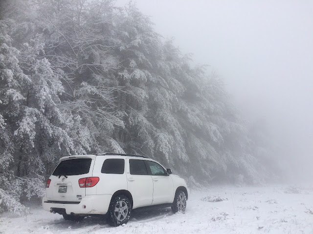
Rare to get Winter Storm warnings in TN, maybe one or two a year, but we just had two in the same week this week, the week of Valentine's Day 2021. It has been an unusually snowy and cold winter in TN, and personally, I love it. I purchased more than enough firewood this year. The winters are relatively short. Just over 5 weeks from these winter storms, we'll have the first of the wildflowers blooming in late March. Although never guaranteed, these 2 storms may represent the peak of winter, as next week looks to be well into the 50s by mid week.
MTSU and most Middle TN schools were cancelled the entire week. The roads were never too bad of a challenge for my Toyota 4x4 Sequoia, mobility wasn't a problem.
These storms could have been far worse if the temperature had just been a few degrees colder, especially storm #2. Wednesday night Feb 17, it started as snow in Sewanee, which was right on the rain/snow line, but ended with rain, leaving a layer of slush by the foggy morning with temperatures above freezing. We did have 2 consecutive nights where the temperature dipped just below 10º but with the approaching precip, the southerly winds increased the temperature. Murfreesboro and Nashville got more snow than Sewanee. Here's the radar image from Wed early evening, Feb 17. Red, purple, blue, orange are frozen, green is rain.
Prior to storm #1, there was light snow and freezing fog with wind for 3 days. The combination of these 2 created a situation called rime ice on anything standing. This caused tree damage, and power outages before storm #1 even started.
It's a fine line between a big snowfall and mixed precip. If Sewanee had been 5º colder throughout these events, there would have been feet of snow rather than inches.
Some of the most beautiful scenes were from that rime ice period, and just after the first snowfall after the super cold night. Here are some photos... rime ice on the fence at the track, views from my house and local roads.
After storm #2, which yielded little snow, we had the frozen fog again, a very cold night in the teens, then a bright sunny day which remained below freezing. This produced an amazing display of crystalline frozen trees with a back drop of blue sky. Amazing.


